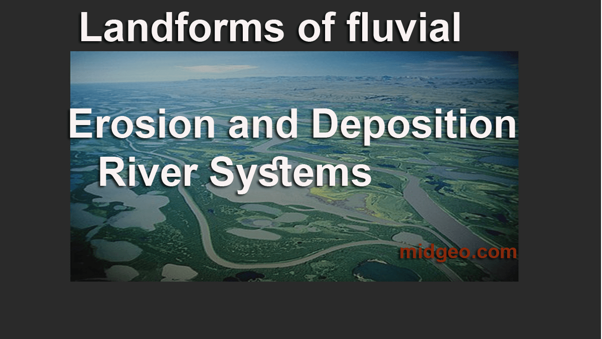
This article will describe the process of how riverine landforms are formed, specifically by landforms of fluvial erosion and deposition.
Fluvial rivers carve through the landscape to deposit sand and gravel at the bottom of their paths.
In the natural world, some forms of erosion and deposition are slow and rational, such as wind-driven deposition or multistage fluvial erosion. Other forms of erosion and deposition result from chaotic events, such as the formation of an alluvial fan or overbank deposit. In some cases, the cause for each process may be different, but the forms of action are similar.
When a river changes course, it often changes the surrounding geological landscape and gives us a snapshot of geologic history. Lets know about Fluvial erosional landforms, and Fluvial depositional landforms.

Fluvial erosion is generally caused by the powerful action of watercourses. The building of alluvial channels over time is a standard example of fluvial erosion. This process assumes that a landform, a natural surface formed by water erosion and deposition, already exists.
River Erosion and Deposition
River erosion and deposition can be observed in the field by looking closely at the surfaces of the rocks on the field or at the eroded bedrock underneath the surface. Liquefaction, the process where sediments are water laid down, is another process that can be observed in the field.
- FLUVIAL EROSIONAL LANDFORMS
- FLUVIAL DEPOSITIONAL LANDFORMS
Fluvial Erosion
The term, fluvial erosion, actually has many meanings. For example, it does not refer to erosion resulting from transporting sand or other solid particles, but the erosion of an earth surface because of a rapidly flowing river. The geology of fluvial erosion is often governed by the streams that erode the problem.
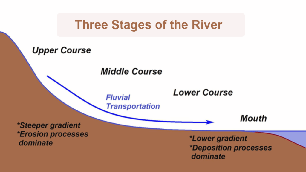
At different stages of the river’s course, erosion and deposition give rise to different landforms.
Three Stages of the River –
1) Upper courses/Stage of Youth
Source: start from the hilly or mountainnous areas.(Highland)
2) Middle courses/Stage of Maturity(Low gradiant valleys and flood plains)
3) Lower courses/Stage of Old(Lowland, Depositional Zone)
Fluvial landforms in different stages of the river

FLUVIAL EROSIONAL LANDFORMS
FLUVIAL DEPOSITIONAL LANDFORMS
1) Upper Courses
- Waterfalls
- Gorge
- Underground caves
- Potholes
- Rapids
2) Middle Courses
- Bank Erosion
- Point bar
- Braiding
- Meander
3)Lower Courses
- Levee
- Estuary
- Oxbow lake
- Flood plain
- Delta
FLUVIAL EROSIONAL LANDFORMS, FLUVIAL DEPOSITIONAL LANDFORMS
World Land forms (MidGeo)
FLUVIAL EROSIONAL LANDFORMS
Canyon and Gorge
They’re most commonly formed when the process of forming waterfall.
River Valleys
It’s usually a low-lying landmass surrounded by higher terrain like mountains or hills. It can also be viewed as a pathway connecting two mountains or a ravine within one.
Waterfall
It can be found in a river’s early stages, where there are sections of hard and soft rocks.
- 10 Importance of Geography in the World: Why Studying Geography Matters for Individuals and Nations
- World Environment Day 2025: Date, Theme, and Significance
- Relative vs. Absolute Location | Definition & Examples
- What is a Beach? How Are Beaches Formed?
- List of Landforms A to Z on Earth
Potholes
Swirling water/sediments carved holes in the bedrock. Bedrock is an abrasion caused by silt entering a depression. spinning sediment scoured Water with the ability to erode due to the force of velocity and cavitation; eddies. Fluvial erosional landforms
Stream terraces
Stream terraces are landforms left behind from periods when a stream was running at a higher height and has since downcut to a lower altitude, and are commonly floodplains. Stream terraces are typically visible as plateaus on current valley walls, indicating previous heights.
Structural benches
Geomorphic surfaces in a step-like progression. Structural benches are formed by differential erosion of alternately stacked hard and soft rocks, resulting in step-like valleys.
River Meanders
Meanders are seen in the middle and lower reaches of a river as it begins to cut laterally as it approaches base level.
Lateral erosion tears into the meander over time, bringing the bends closer together. The river’s force eventually breaks through, and because this is the simplest way for the water to travel, the old meander no longer receives as much water.
Oxbow lakes
The river deposits sediment swiftly along the side of its new route, cutting off the previous meander. An oxbow lake is a section of the original meander that has been cut off.
FLUVIAL DEPOSITIONAL LANDFORMS
However, as a river approaches its outlet, energy levels drop, and deposition occurs. As a result, a variety of depositional landforms emerge.
Alluvial fans and Cones
Natural Levees
Natural or man-made levees are both possible. They form when a river overflows its banks and silt settles on the bank parallel to the river’s flow during a flood.
The material that is heavier settles first. When a river overflows its banks, its velocity drops, causing the burden to be deposited as the river’s competence is suddenly lowered.
Flood Plain
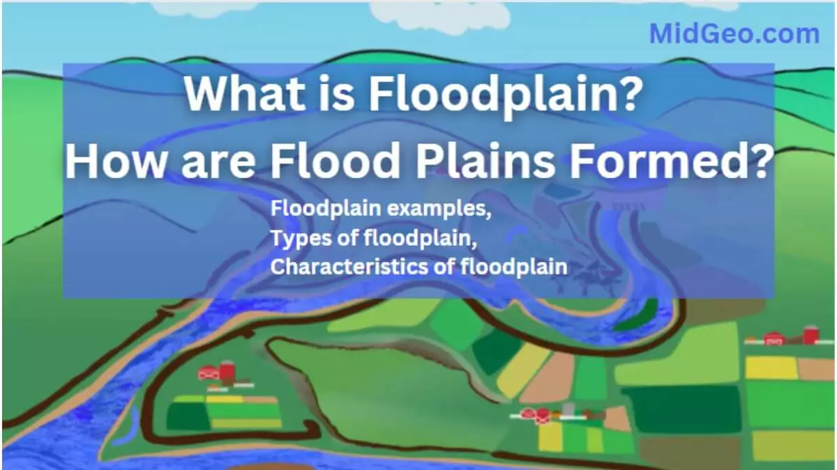
A floodplain is a land surrounding a river that is flooded during a storm. When rivers flood, alluvium is deposited, making the floodplain extremely fertile and ideal for cultivation.
Channel and Sand bars
Delta
Deltas, such as the Pearl River Delta, are found at the mouths of great rivers. When a river collides with the sea or a lake, the river loses energy and deposits its burden. A Delta will form if this deposition occurs quicker than the sea can clear it.
Deltas are sediment-laden areas that form at a river’s mouth. Both the suspended and bed loads are deposited, resulting in productive alluvial land.
Types of Delta:
There are three main types of Delta: The terrain around the river mouth expands into the sea, and the river splits numerous times on its route to the sea, generating a fan effect similar to that seen in Egypt’s Nile Delta.
An arcuate or a fan-shaped Delta:
The terrain around the river mouth expands into the sea, and the river splits numerous times on its route to the sea, generating a fan effect similar to that seen in Egypt’s Nile Delta.
A Cuspate Delta:
The ground near the river mouth jutted out into the sea like an arrow.
The Bird’s Foot Delta:
On its route to the sea, the river separates. Each section of the river juts out into the sea, suggesting the foot of a bird. Take the Mississippi River Delta, for example.
“Lands downsides are chewed up and spat out by the unstoppable force of water. Water is markedly different in the ways it moves, says Karen Greenwell, director of Ohio State’s Department of Geological Sciences.”
Fluvial depositional landforms (MidGeo)
Following the development of Sonora and the Colorado River Basin, the mechanism of fluvial erosion and deposition formed and changed through time. The formation of terraces in the valley of Sonora sheds light on the process of fluvial deposition where erosion takes place and deposits sediment at a low elevation. By studying the various types of deposits in the terraced valley, it is possible to understand the types of underlying processes that form and why they may change through time.
Fluvial erosional landforms, Fluvial depositional landforms both knowledge is importent to live better life in todays world. Good Luck to live better life.
In Conclusion,
Here I’m gave you clear idea about landforms of fluvial erosion and deposition (River System). I hope you understand and found it helpful. If you have any confusion please feel free comment me below.


